Jelkes Creek-Fox River Watershed Coalition

Click here for enlarged map
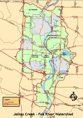
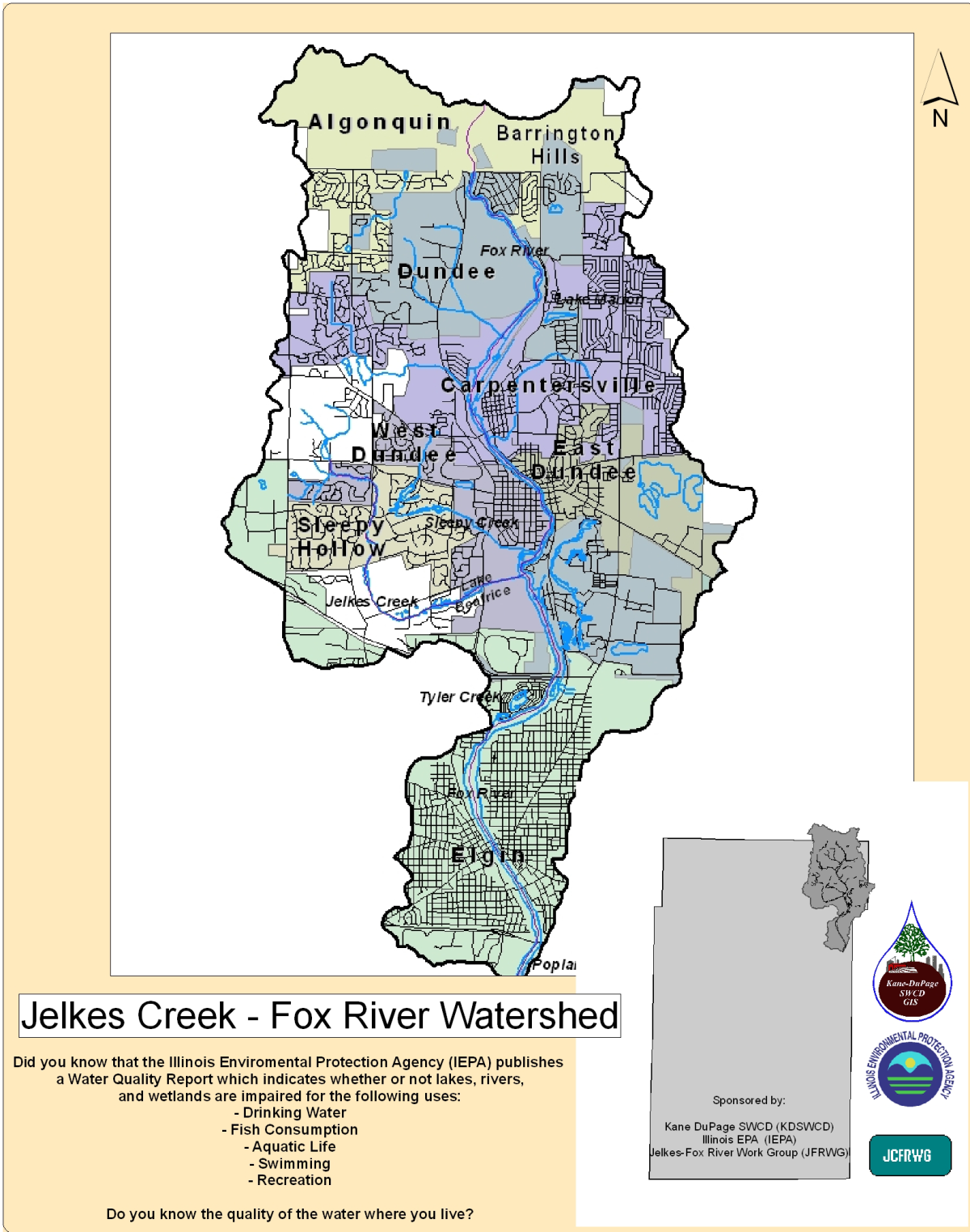
Jelkes Creek-Fox River Watershed
Location: Kane, McHenry & Cook Counties. 40 square miles.
This subwatershed bears the name of the largest creek, Jelke Creek, in its boundaries but it also includes the Fox River from Rte 62 to Hwy 20, and these tributaries:
Carpenter Creek, Dixie Creek, Fourwinds Way (Selmartin) Creek, Lake Marion (Delta) Creek, Cougar (MacIntosh or No Name) Creek, Ratt Creek, Shaw Creek, and Sleepy Creek. Includes: Algonquin, Barrington Hills, Carpentersville, East Dundee, Elgin, Sleepy Hollow, West Dundee and unincorporated areas of Dundee Township.
The watershed planning process brought together residents, municipal officials and agency personnel working towards the common goal of protecting water quality. The result was the development of a watershed plan. This plan in not a legally binding document but rather a tool to make informed decisions.
The Jelkes Creek-Fox River Watershed Action Plan was adopted in December 2012.

Jelkes Creek-Fox River Watershed Coalition
The Jelkes Creek-Fox River Watershed Coalition was formed as part of the process. The Action Plan guides the work of the coalition and benefits the community by:
• Involving stakeholders in a cooperative partnership
• Focusing on a waterway and its tributaries
• Establishing goals and management objectives
• Identifying and assessing impairments to water resources
• Providing recommendations to help with point
and nonpoint source pollution issues
• Suggesting voluntary methods to protect and enhance water quality
• Developing an action plan for restorative and preventative efforts
• Supporting applications for grant funding and technical assistance
Get Involved
Join the Jelkes Creek-Fox River Watershed Coalition as we work to implement recommendations from the watershed plan.
For more information on the plan or meeting times and locations email Mike Ander and/or David Poweleit at: jcfrwc@gmail.com
For more information on the plan or meeting times and locations email Mike Ander and/or David Poweleit at: jcfrwc@gmail.com
Meeting Information
Watch for information about future meetings of the Coalition
Maps
Lower Fox River - Jelkes Creek Watershed Boundary
Jelkes Creek - Fox River Land Use Map
Jelkes - Fox Roads-Community Detail Map
Jelkes - Fox Watershed Map
Jelkes Creek Fish Inventory Map
Jelkes Creek Walk Points Map
Jelkes Creek Watershed Boundaries
Rapid Watershed Assessment Locations Map
Additonal detailed maps are found in the Watershed Action Plan under Resources & Documents.
